Work

Travel Shows

In travel shows, graphics keep the journey easy to follow with route maps, location cards, on-screen notes – all moving at the presenters’ pace.
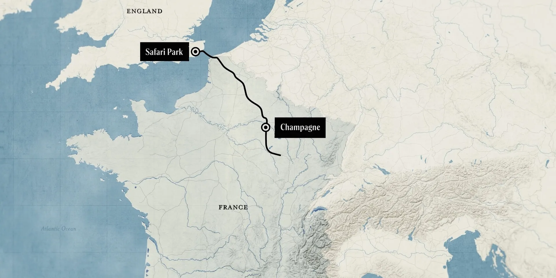
Map of England and France with a route running from Safari Park across the Channel to Champagne
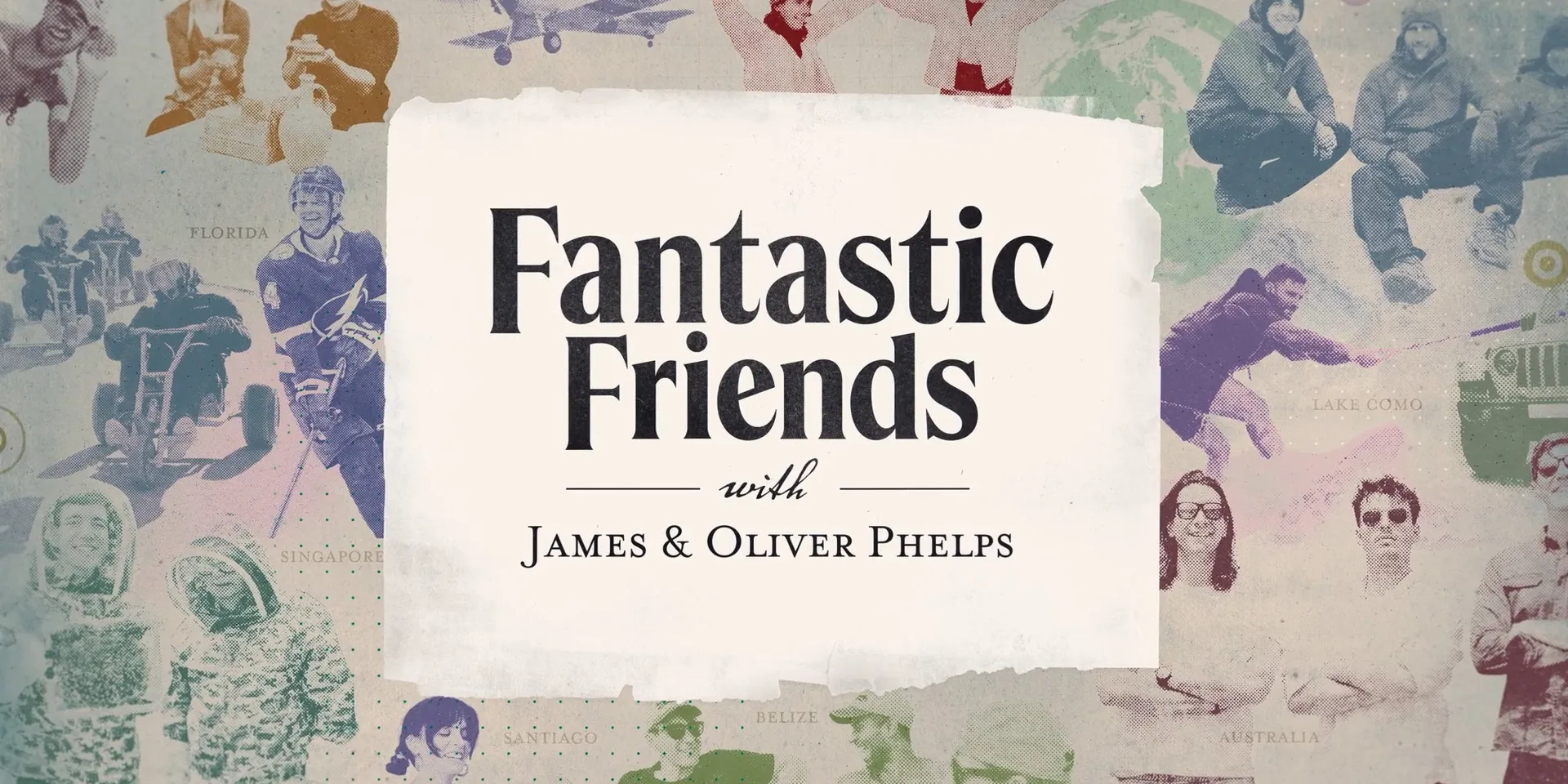
Title card reading Fantastic Friends with James & Oliver Phelps, over a halftone collage of travel scenes and place names
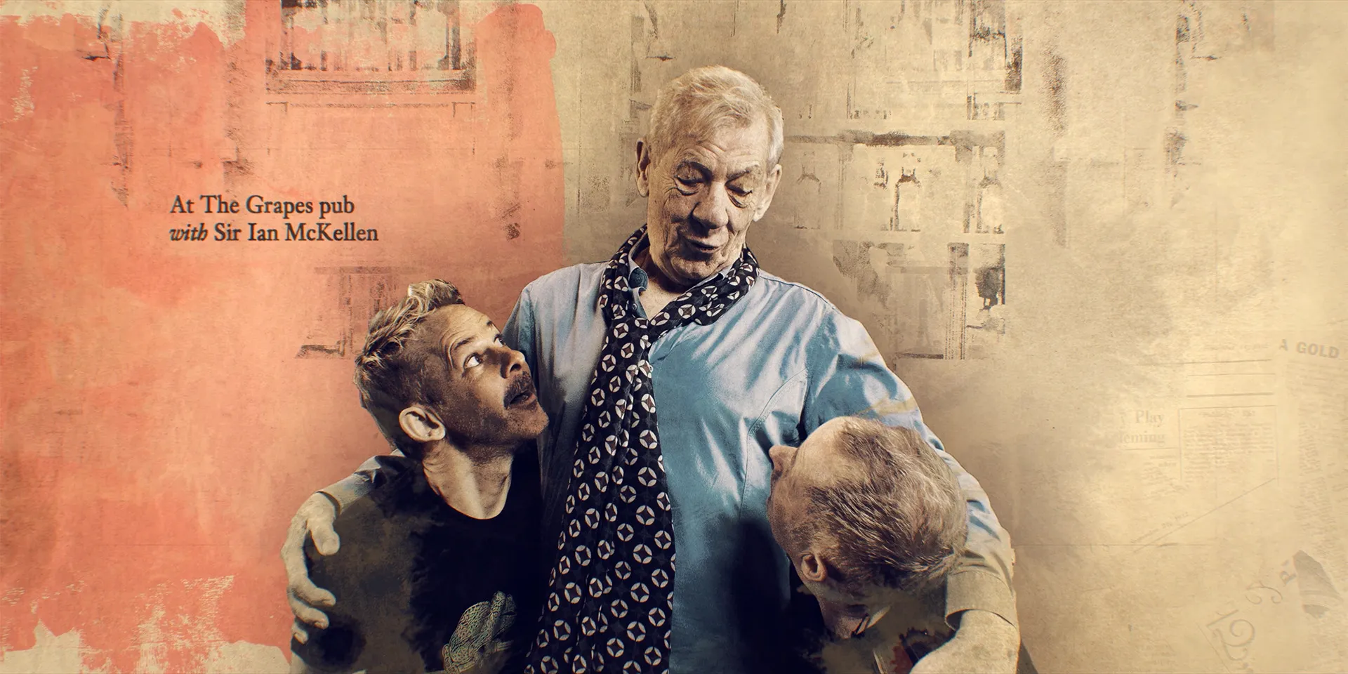
Painted portrait of Sir Ian McKellen with his arms round two presenters, captioned At The Grapes pub with Sir Ian McKellen
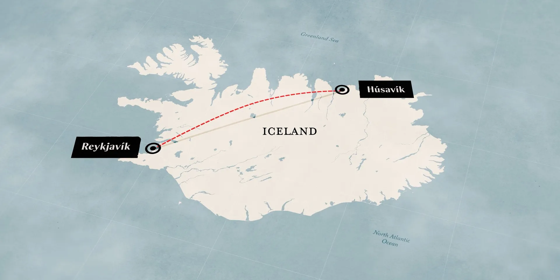
Map of Iceland with a dotted red route from Reykjavík to Húsavík
A hand serving a grilled sandwich and a milkshake onto a table
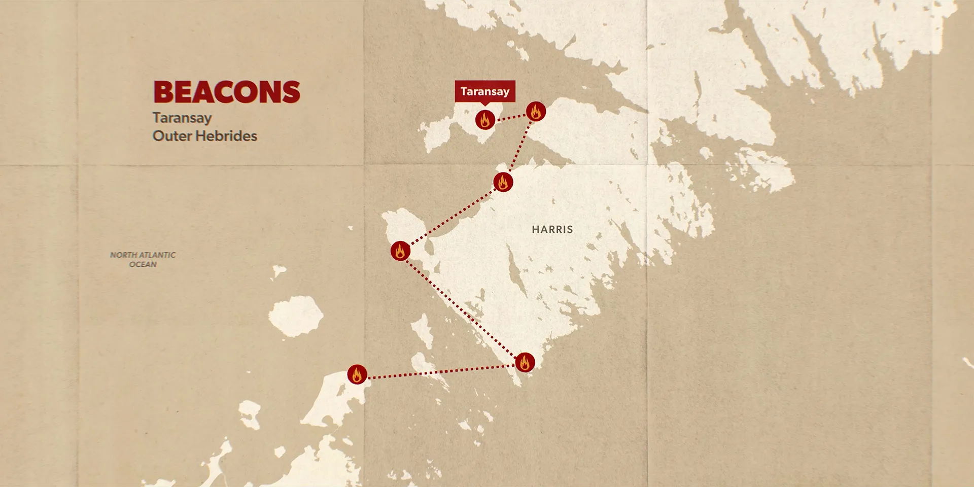
Map of Harris in the Outer Hebrides titled Beacons, a chain of fire markers dotted across the island to Taransay
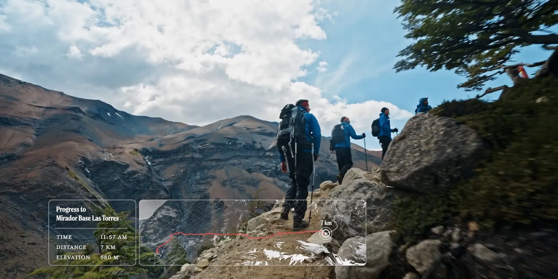
Hikers on a mountain trail with an overlay tracking progress to Mirador Base Las Torres: 7 km, 580 m elevation
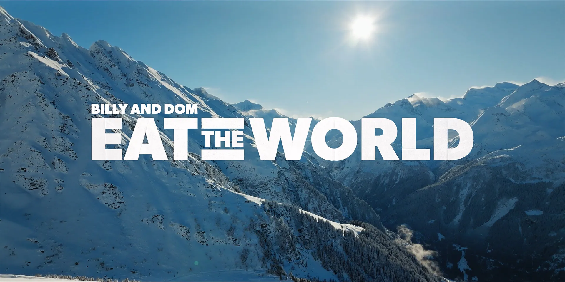
Snow-covered Alpine peaks under a bright sun, with the title Billy and Dom Eat The World
3D relief map of a mountain range
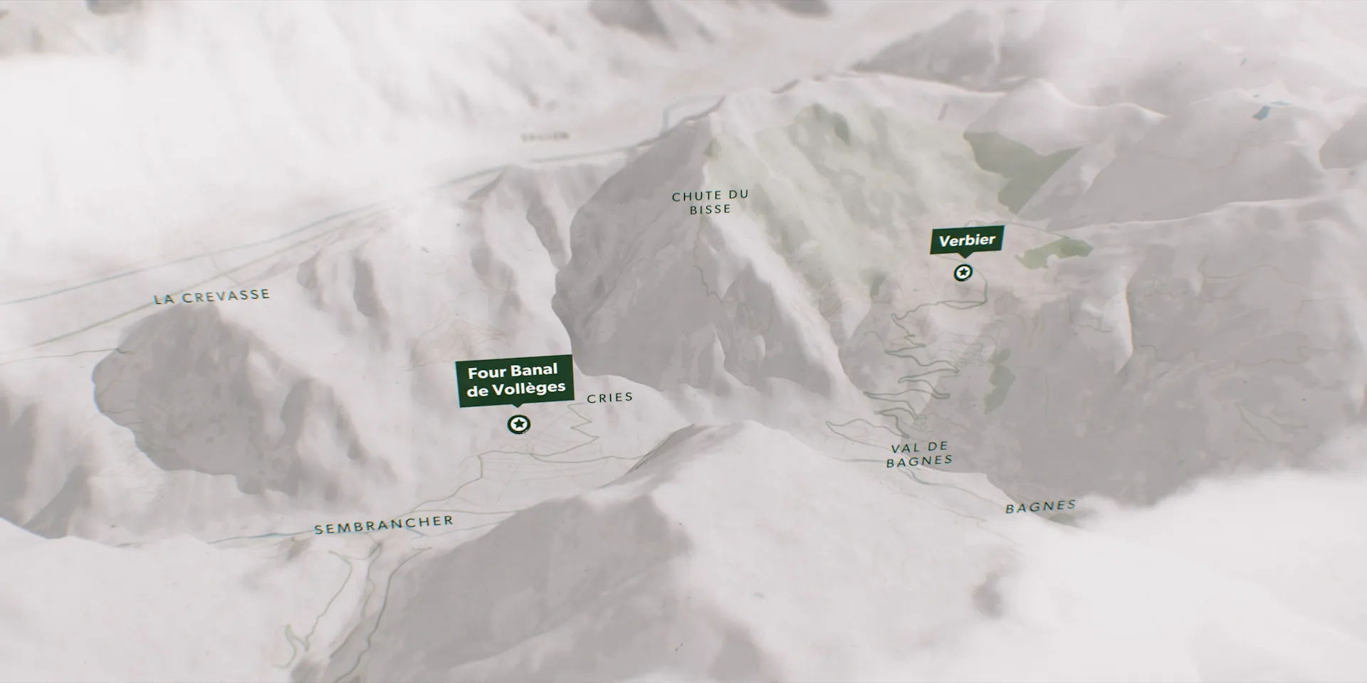
Relief map of a snowy Swiss valley marking Verbier and the Four Banal de Vollèges
Route map of Big Sur
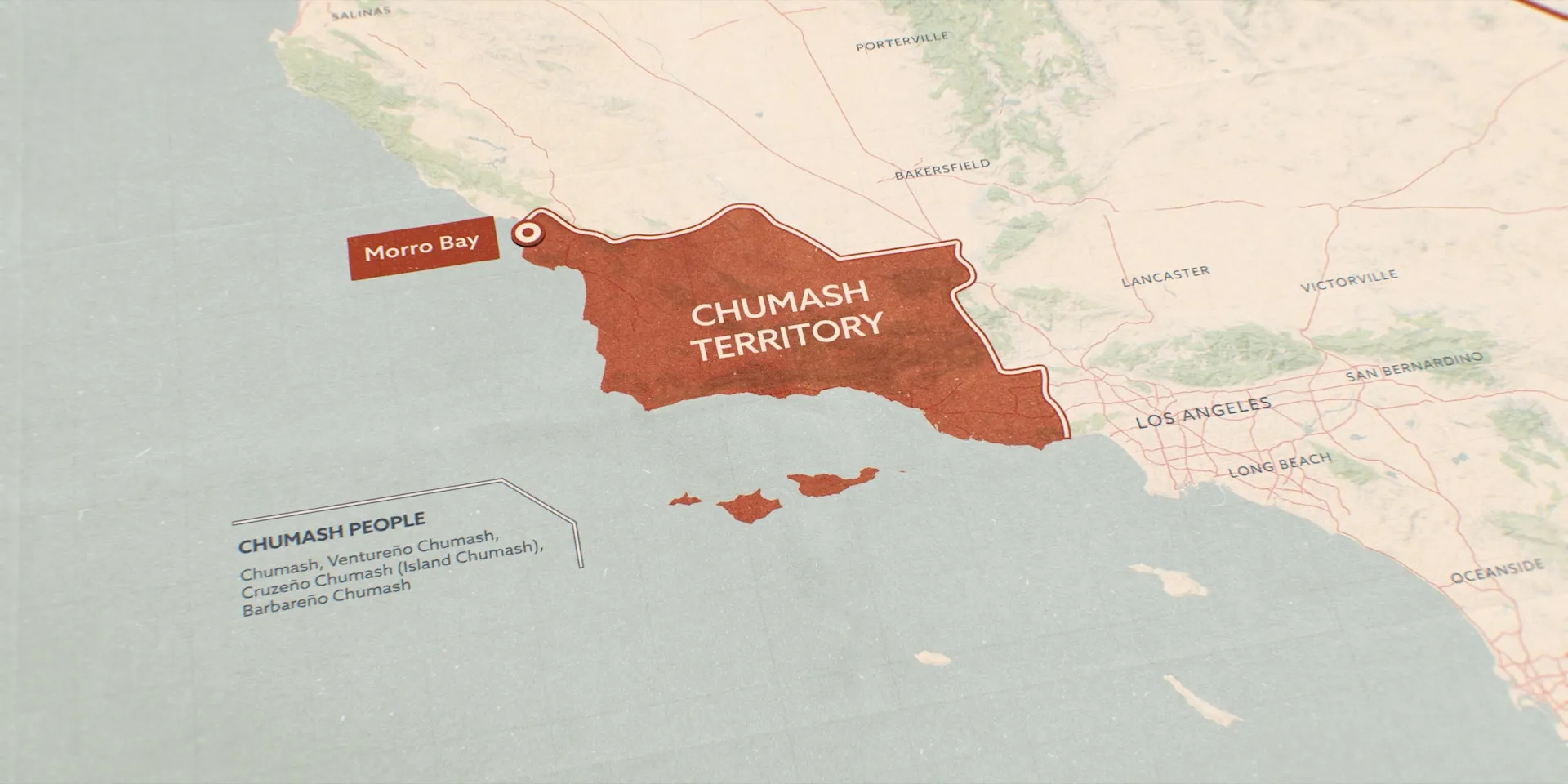
Map of the Southern California coast with Chumash territory shaded red from Morro Bay towards Los Angeles
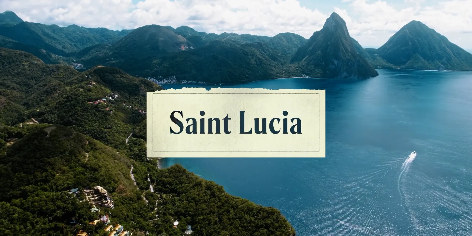
Aerial view of Saint Lucia’s Pitons over the bay, with a Saint Lucia location card
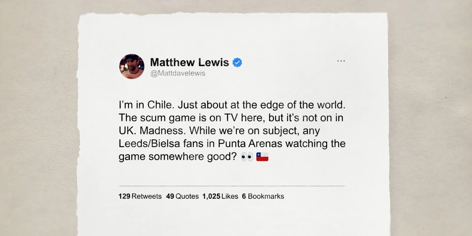
Tweet from Matthew Lewis, on a torn paper card, about watching the game in Punta Arenas, Chile
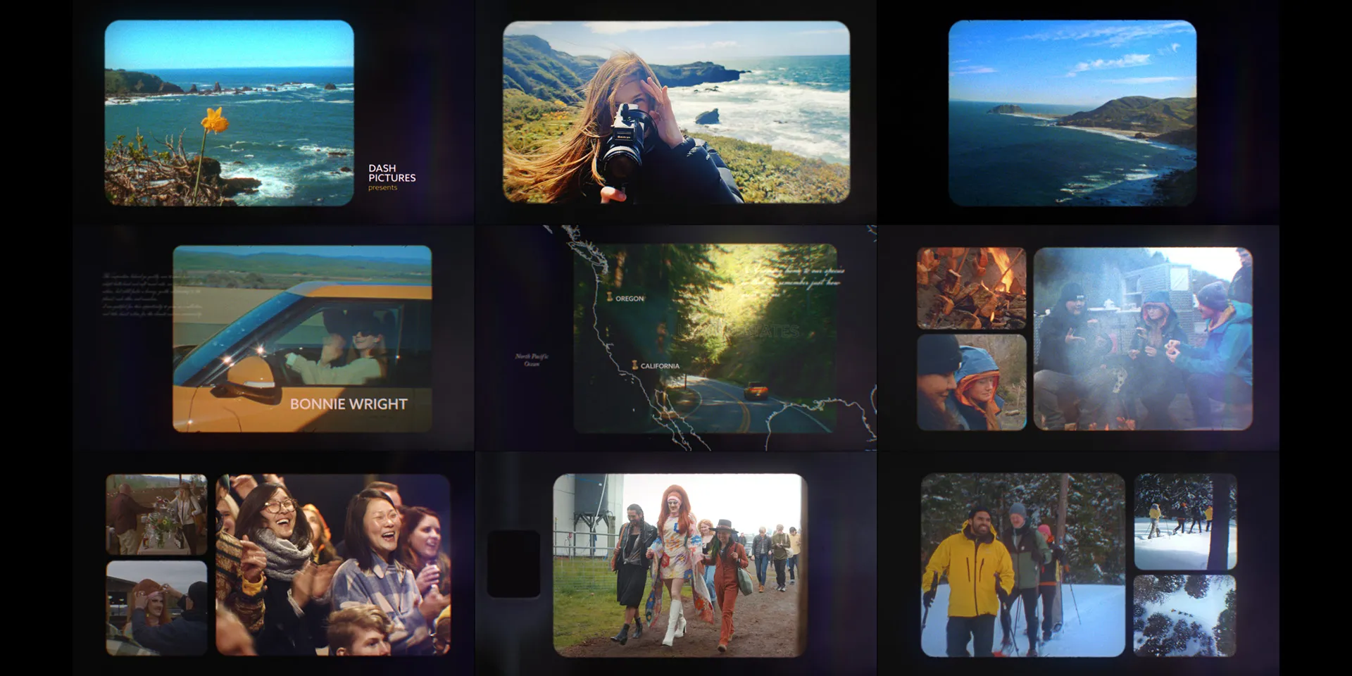
Grid of film-framed scenes from a West Coast road trip — coastline, a camera, a map of Oregon and California, campfires and snow
1 / 15

Inside the Cut

Graphics as they land on the lines they illustrate – short clips from episodes, with the original narration, music and sound effects.
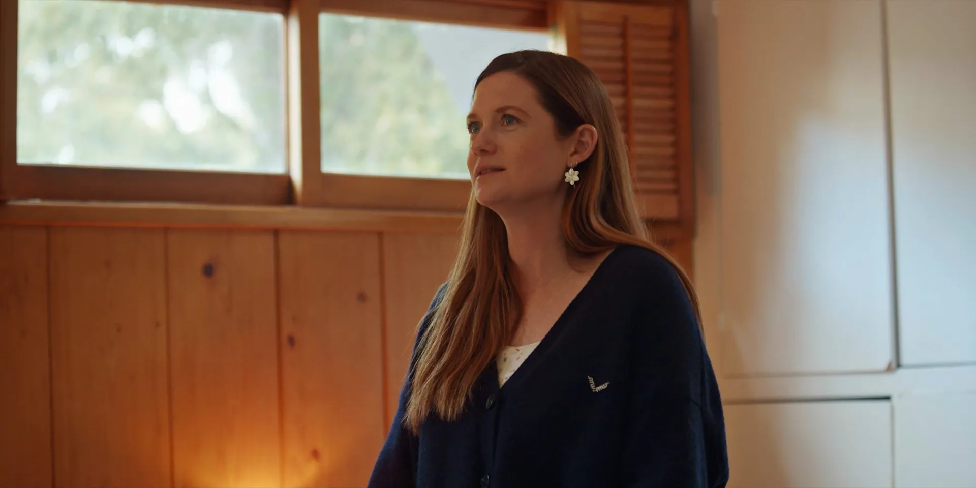
Go Gently
Courtesy of Dash Pictures
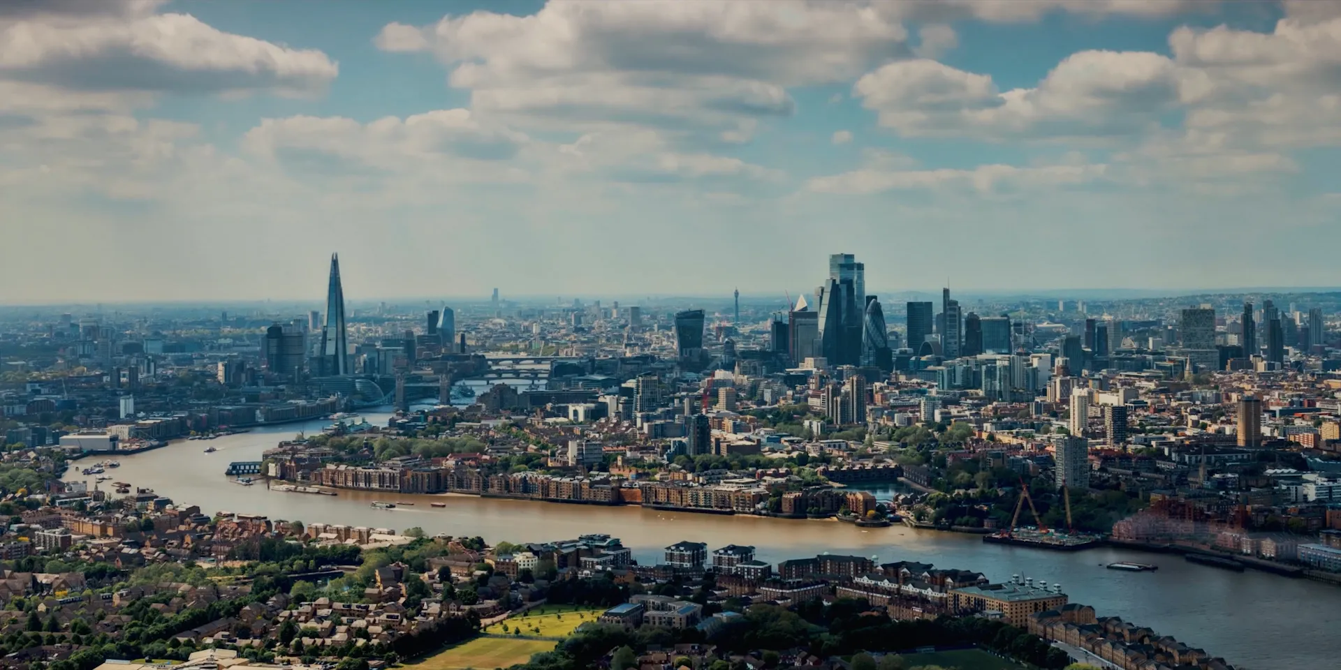
Billy and Dom Eat The World S1
Courtesy of Dash Pictures
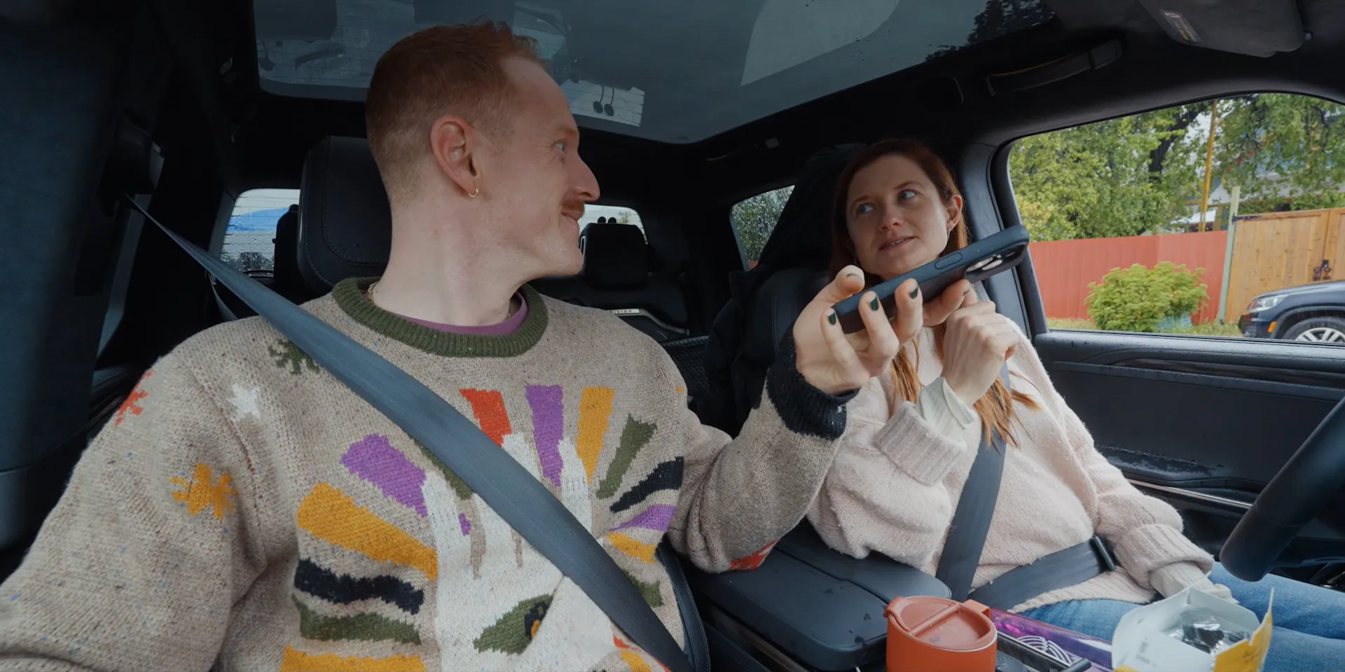
Go Gently
Courtesy of Dash Pictures
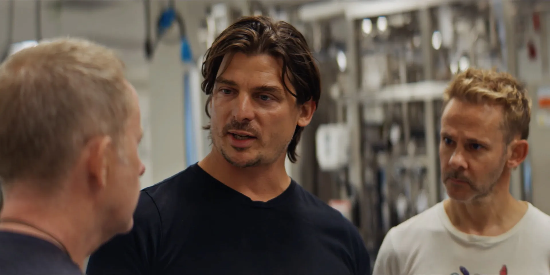
Billy and Dom Eat The World S1
Courtesy of Dash Pictures
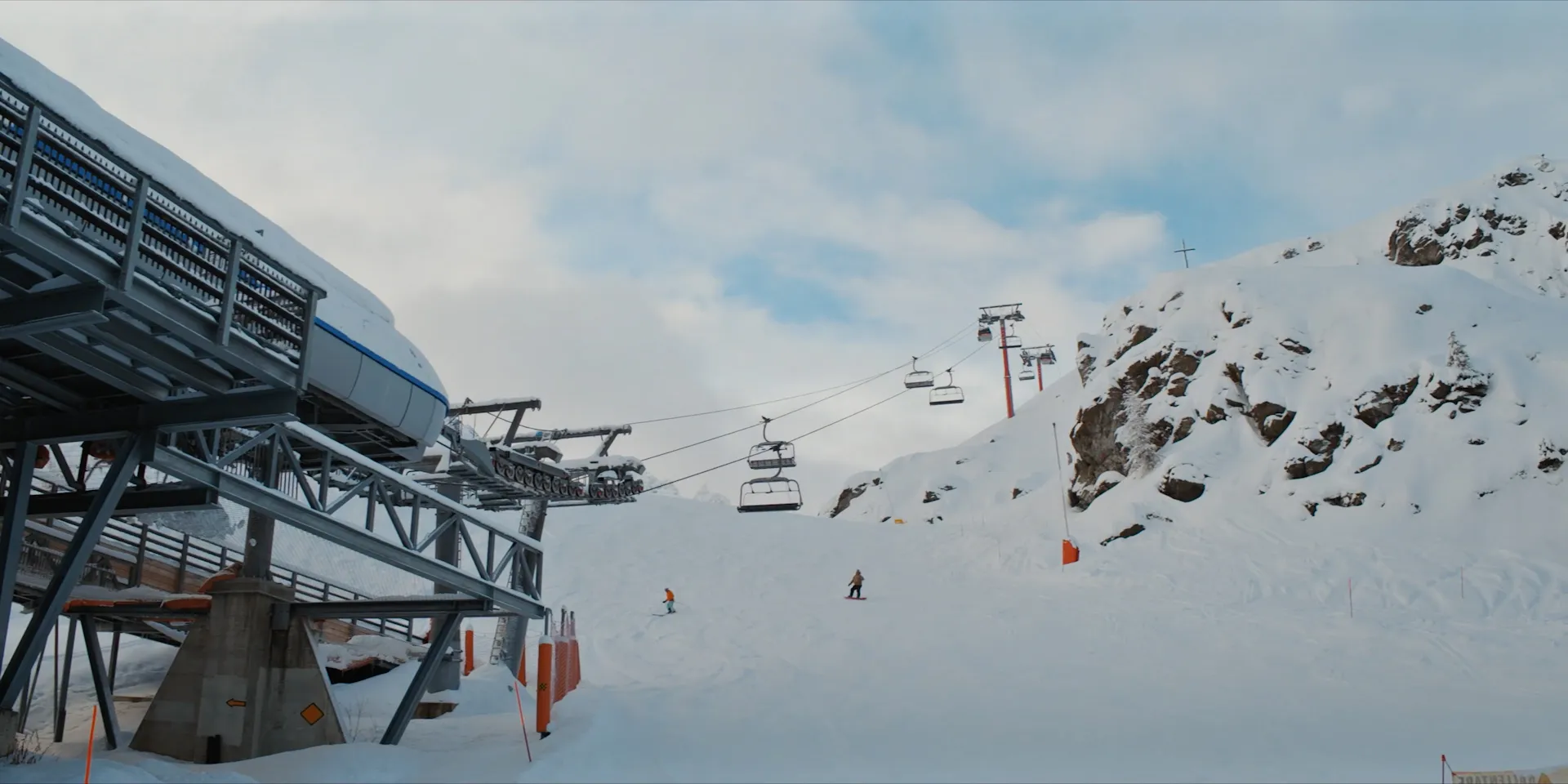
Billy and Dom Eat The World S1
Courtesy of Dash Pictures

All clips courtesy of Dash Pictures